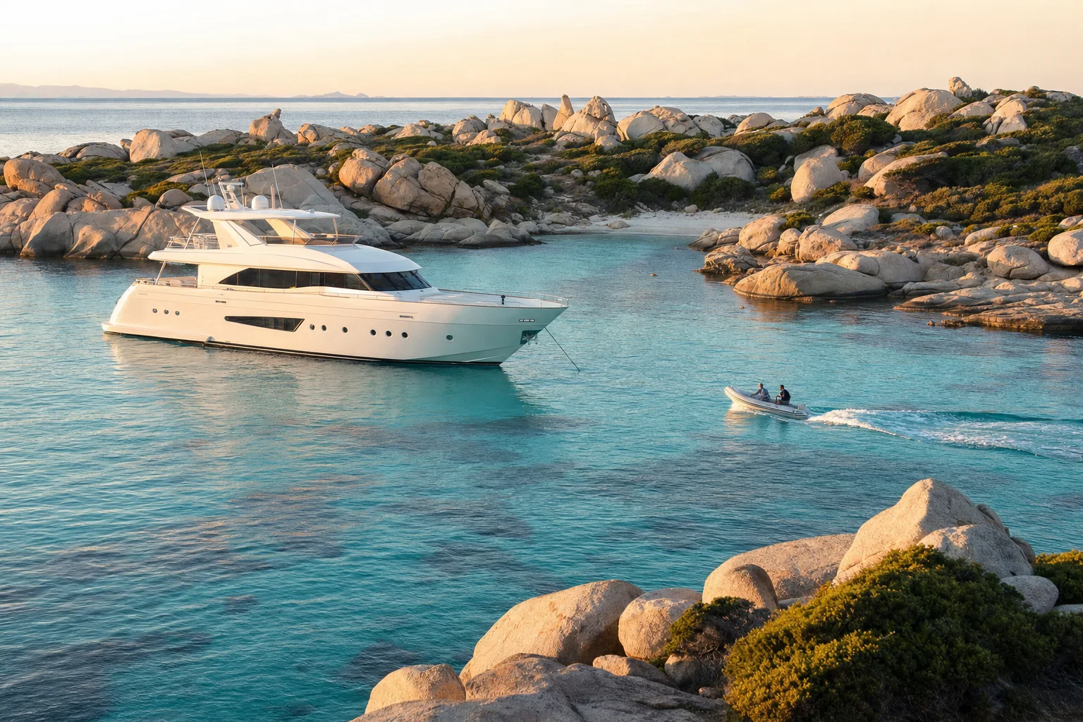
Visiting Bonifacio by yacht
When to come, where yachts anchor off Bonifacio, and what to see ashore.
Picture made with AI. It shows the place but is not a photograph.
When to come
Highs and rain are Météo-France normals for 1991 to 2020. The season column is our own estimate.
| Months | Season | Average high | Rain a month |
|---|---|---|---|
| Jun to Sep | Peak | 24 to 28 °C | 7 to 56 mm |
| Mar to May, Oct | Shoulder | 15 to 21 °C | 40 to 75 mm |
| Nov to Feb | Off | 13 to 17 °C | 49 to 89 mm |
The station is at Cap Pertusato, 107 m above sea level, south-east of the town.
Where yachts anchor
The Préfet maritime sets mandatory anchoring zones for ships that need an authorisation, which includes yachts of 80 m and over. The speed limit in these zones is 10 knots.
Gulf of Sant'Amanza
A mandatory zone in the Bonifacio East section, between Punta di Rondinara and Cap Pertusato.
Lavezzi islands, Cala di u Grecu
A mandatory zone in the same section. Vessels under 24 m anchor in marked clean-anchorage zones in summer, or beyond the 40 m depth line.
South of Île Piana, Punta de Sperone
A mandatory zone in the same section.
Escalier du roi d'Aragon and Madonetta
Two mandatory zones on the Cap Pertusato to Cap de Feno coast, off the old town.
Navy mooring buoy, Gulf of Sant'Amanza
When no state ship is on it, the port of Bonifacio can offer superyachts a stop on this white Navy buoy. A yacht on the buoy informs the Pertusato semaphore, keeps watch on VHF 16 and keeps enough crew aboard to leave at once. Underwater lights, fireworks and discharges are banned. (Order 198/2026, 15 June 2026.)
Golfe de la Rondinara
The port lists a sand bottom, protected from north to south through west and open to the east. A permanent no-anchoring zone covers the centre of the bay.
Cala Lazarina and Cala di Roccapina
The port lists sand at both. It notes a few rocks at Cala Lazarina, in the Lavezzi islands, and reports rocks at Cala di Roccapina. Do not anchor in the posidonia seagrass.
Order 157/2024 annex V, consolidated with order 177/2026. Orders 34/2025 and 198/2026. Bonifacio Marina port website. Check the current orders before you arrive.
Bouches de Bonifacio nature reserve
80,000 ha
The port says the reserve is the largest nature reserve in metropolitan France and lies between Corsica and Sardinia. The port is at its centre.
12,000 ha
Landing is allowed only on the Lavezzi islands, and on the Cerbicale islands from 1 September to 31 March. Dogs and camping are banned. Yachts of 24 m and over follow the Préfet maritime anchoring orders.
1,200 ha
All fishing is banned. Scuba diving is banned. Swimming and free diving are allowed. (Office de l'Environnement de la Corse leaflet.)
What to see
Bastion de l'Étendard
A landscaped garden with 10 views and an exhibition called 1000 ans d'histoire in underground rooms.
Five churches and a chapel
Saint-Dominique was listed in 1862 and is the only Gothic building in Corsica. Sainte Marie-Majeure is the oldest. Saint-Erasme is the only church on the port. Chapelle Saint-Roch was built in 1528.
Escalier du Roy d'Aragon and Le Gouvernail
The Escalier is a listed monument cut into the cliff. Le Gouvernail is a military site beside the Cimetière Marin, with a tunnel of 168 steps cut into the cliff.
Flights
Marseille, Nice and Paris Orly
Air Corsica flies each route to Figari Sud Corse airport, at least 7 return trips a week, all year.
Other routes
Other mainland and European routes run in summer only. Check the airport schedule before you book.
22 km to Bonifacio
The airport lists 22 km to Bonifacio. Taxis wait in front of the arrivals area. A shuttle runs to Porto-Vecchio all year, and Porto-Vecchio has a bus to Bonifacio.
Sources. Checked 8 November 2026.
- Bonifacio Marina: useful information at sea
- Bonifacio Marina: port services
- Bonifacio Marina: frequently asked questions
- Bonifacio Marina: anchorages
- Bonifacio Marina: heritage
- Bonifacio Marina: environment
- Bonifacio Marina: useful contacts
- Météo-France: Cap Pertusato climate sheet
- Préfet maritime order 156/2024 (Bouches de Bonifacio, 24 m and over)
- Préfet maritime order 34/2025 (300 m coastal band, Bonifacio)
- Préfet maritime order 198/2026 (Navy mooring buoy, Sant'Amanza)
- Préfet maritime order 157/2024 (consolidated, 45 m and over)
- Préfet maritime order 77/2025 (anchoring duration)
- Préfecture maritime: 2026 anchoring order list
- Office de l'Environnement de la Corse: reserve regulation leaflet
- Figari Sud Corse airport: destinations
- Figari Sud Corse airport: getting to the airport
- Figari Sud Corse airport: shuttles
- Figari Sud Corse airport: taxis
- European Commission: Schengen area
- FIN: ENIM and article L.5551-1 (2018)
- UKSA: superyacht salary guide
- OpenStreetMap data via Nominatim: place coordinates
Let the yachts come to you
Upload your CV and we build your crew profile from it. Captains and recruiters contact you. Free for crew.