Dakar
The Hann Bay anchorage, the Gorée ferry and the commercial port. Jobs, clearance rules, and when to come.
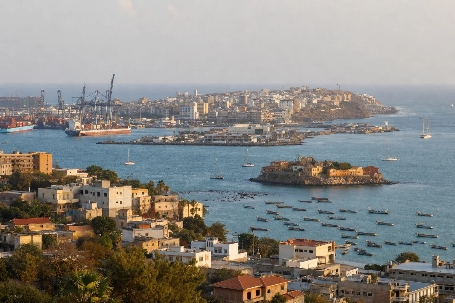
Picture made with AI. It shows the place but is not a photograph.
north-north-east from the turn past Gorée Island to the Hann Bay anchorage for yachts (Noonsite, 2015)
dredged access channel of the commercial port of Dakar, open 24 hours a day
of quay at the commercial port of Dakar
average yearly rain at Dakar, 1991 to 2020, almost all of it from July to October
Dakar pages
Gorée, the sea terminal and the Hann Bay anchorage in Dakar
Yachts anchor off Pointe de Bel-Air in Hann Bay, north of Gorée Island. The sea terminal is in the port. The ferry lands on Gorée Island.
Best months and weather
WMO climate normals 1991 to 2020, Dakar station (61641), mean monthly rainfall and mean daily maximum. Season bands are our own estimate.
Sources. Checked 8 November 2026.
- Noonsite: Dakar docking
- Noonsite: Dakar clearance
- Port Autonome de Dakar: Position géographique (Wayback Machine, 27 May 2025)
- Port Autonome de Dakar: Avitaillement (Wayback Machine, 17 September 2025)
- Port Autonome de Dakar: Dakar-Gorée (Wayback Machine, 17 February 2026)
- Port Autonome de Dakar: Gare maritime (Wayback Machine, 16 April 2026)
- Ministère des Affaires étrangères du Sénégal: Visiter le Sénégal
- WMO climate normals 1991 to 2020: Dakar 61641
- Au Sénégal: Dakar, une escale africaine sur la route des bateaux de croisière, 2018
- UKSA superyacht salary guide
Let the yachts come to you
Upload your CV and we build your crew profile from it. Captains and recruiters contact you. Free for crew.