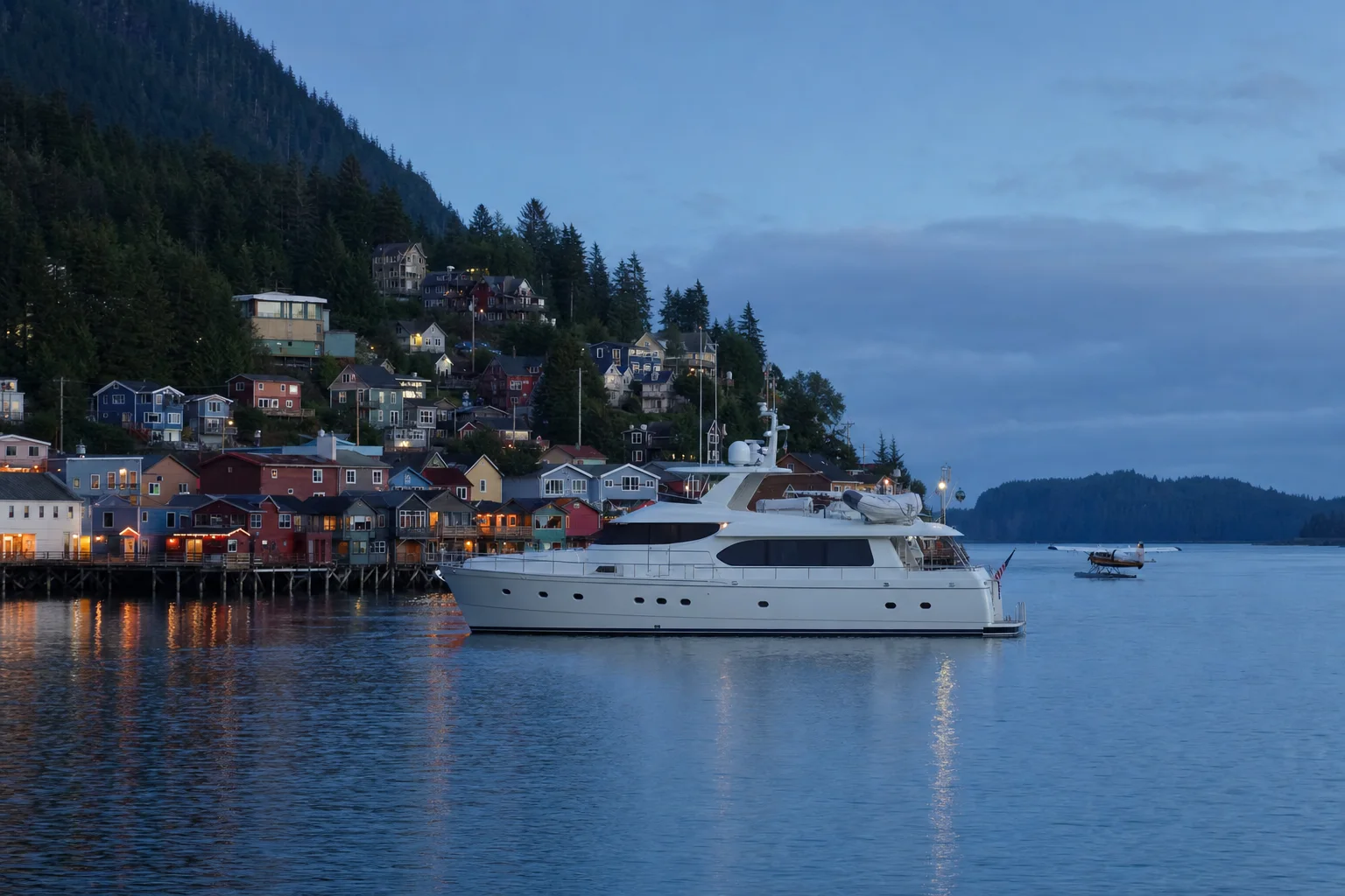
Visiting Ketchikan by yacht
Monthly rain and temperature, where yachts anchor and how to reach Ketchikan.
Picture made with AI. It shows the place but is not a photograph.
When to come
| Month | Rain | Mean daily high |
|---|---|---|
| January | 411 mm | 4 C |
| February | 300 mm | 5 C |
| March | 279 mm | 6 C |
| April | 260 mm | 10 C |
| May | 220 mm | 14 C |
| June | 178 mm | 16 C |
| July | 186 mm | 18 C |
| August | 287 mm | 18 C |
| September | 363 mm | 15 C |
| October | 467 mm | 11 C |
| November | 434 mm | 7 C |
| December | 413 mm | 5 C |
NOAA 1991 to 2020 normals, Ketchikan International Airport. NOAA Coast Pilot 8 says the port has about 244 cloudy days and 236 days of rain a year, and that October is the wettest month.
Where yachts anchor
From NOAA Coast Pilot 8, 1 November 2026 edition.
Off the Ketchikan waterfront
Cable and pipeline areas that run northwest through Tongass Narrows limit the anchorage. The anchorage is secure for all but the heaviest winter gales. Tidal currents do not exceed 1.5 to 2 knots.
Large passenger vessel anchorage
The harbor area between Thomas Basin and Bar Point is an anchorage area for large passenger vessels. Limits and regulations are in 33 CFR 110.231.
Getting here and ashore
Distances
NOAA Coast Pilot 8 gives these distances to Ketchikan: 659 miles from Seattle by the Inside Passage, 79 miles from the sea at Dixon Entrance, 89 miles from Wrangell and 220 miles from Juneau.
Airport and ferries
Ketchikan International Airport is on the south side of the narrows. The Alaska Marine Highway terminal is 0.4 miles from the harbormaster office.
Totem parks
The city's harbor booklet puts Saxman Totem Park 4.1 miles and Totem Bight State Park 9.9 miles from the harbormaster office.
Sources. Checked 8 November 2026.
- City of Ketchikan, Ketchikan Harbors
- City of Ketchikan, Port and Harbors
- City of Ketchikan, Port of Ketchikan
- City of Ketchikan, harbor rates effective 1 April 2026
- City of Ketchikan, 2026 Port of Ketchikan rate sheet
- City of Ketchikan, Welcome to Ketchikan Harbors booklet
- City of Ketchikan, Casey Moran harbor map
- City of Ketchikan, Bar Harbor South map
- City of Ketchikan, Bar Harbor North map
- City of Ketchikan, Thomas Basin map
- JAG Ketchikan shipyard
- AIDEA: Ketchikan Shipyard
- NOAA Coast Pilot 8, chapter 4, 1 November 2026
- NOAA Coast Pilot 8, chapter 3, 1 November 2026
- CBP, pleasure boat locations, Alaska
- 19 CFR 4.94, yacht privileges and obligations
- 22 CFR 41.41, crewmen
- NOAA NCEI, 1991 to 2020 monthly normals, Ketchikan International Airport
- UKSA, superyacht salary guide 2025
Let the yachts come to you
Upload your CV and we build your crew profile from it. Captains and recruiters contact you. Free for crew.