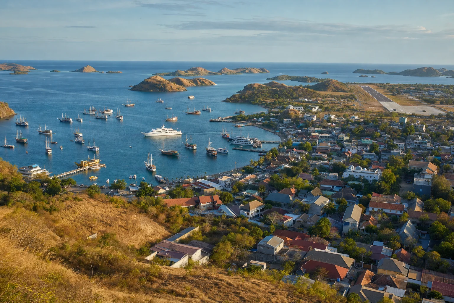
Labuan Bajo
The anchorage, Komodo National Park anchorages and permits, and the charter route. Jobs, anchoring and visits.
Picture made with AI. It shows the place but is not a photograph.
yachts visited Komodo National Park in 2024, with 30 cruise ships
passengers and crew on those cruise ships and yachts
anchoring depth on sand in Labuan Bajo bay
park ticket for a foreign visitor, set in 2024
Labuan Bajo pages
The harbour, Bajo Island and the airport at Labuan Bajo
Labuan Bajo is at the western end of Flores. The harbour and ferry terminal are on the town waterfront. Bajo Island is about 1 km west of the harbour. Komodo International Airport is about 2 km northeast of the harbour.
Best months and weather
Copernicus ERA5 reanalysis, read through the Open-Meteo historical weather API: daily maximum temperature at 2 m and daily rainfall, 1991 to 2020, for the harbour coordinates 8.49 S 119.88 E. Open-Meteo uses the ERA5 cell at 8.50 S 120.00 E, about 25 km across, and adjusts temperature to the harbour elevation of 0 m. This is model data, not a weather station record. Rain is the mean of the monthly totals. Season bands are our own estimate.
Sources. Checked 8 November 2026.
- Indonesian Directorate General of Immigration: visa list
- detik Bali: cruise ships and yachts at Komodo National Park in 2024
- Antara Kupang: new Komodo National Park tariff
- Southeast Asia Pilot: Labuan Bajo
- Southeast Asia Pilot: Komodo National Park
- Noonsite: Labuan Bajo
- Boat International: 8 days exploring Komodo National Park by superyacht
- TWW Yachts: Komodo National Park charter itinerary
- UKSA superyacht salary guide
- Open-Meteo historical weather API (ERA5)
Let the yachts come to you
Upload your CV and we build your crew profile from it. Captains and recruiters contact you. Free for crew.