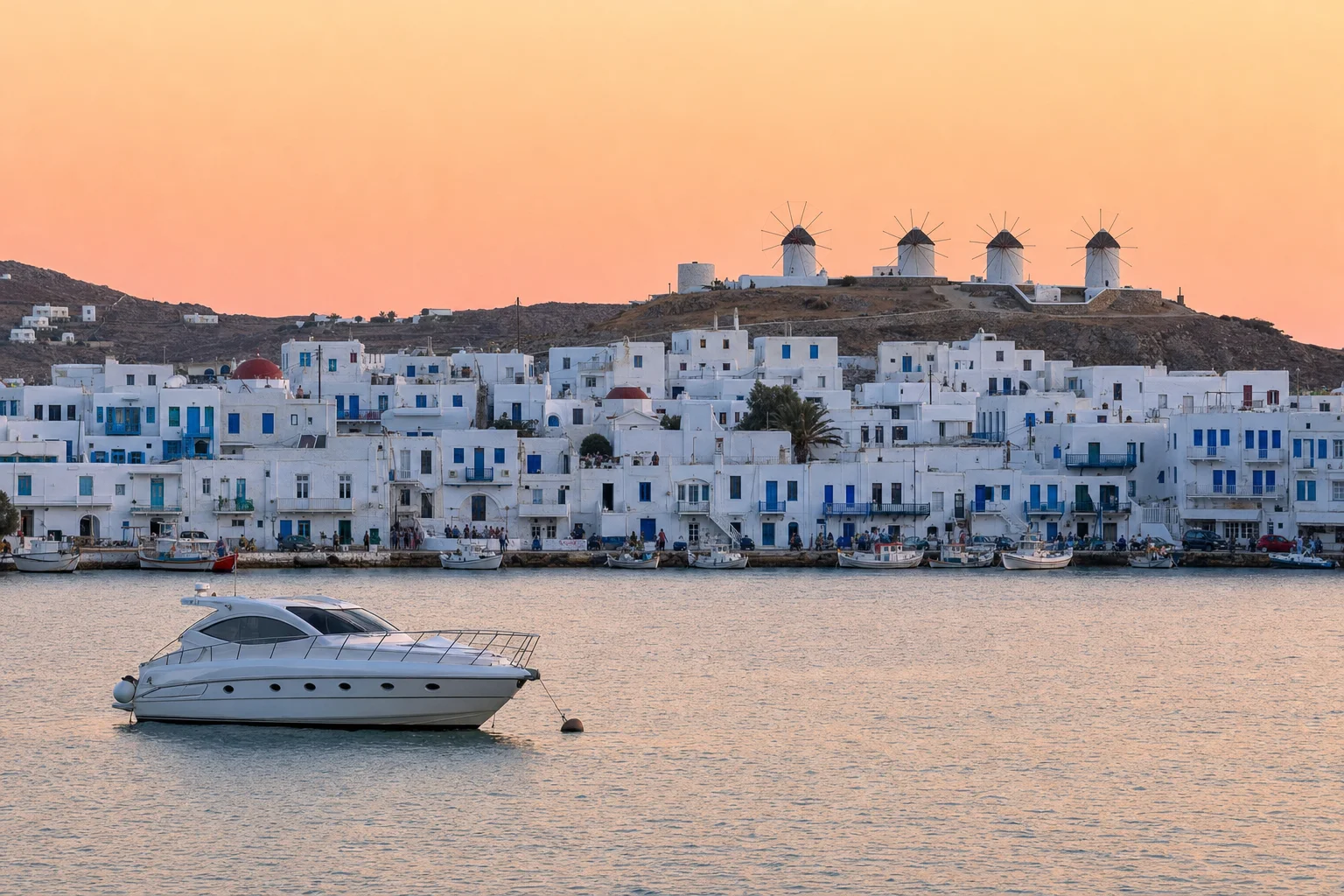
Visiting Mykonos by yacht
Climate by season, the Port Fund harbours and how to get to Mykonos.
Picture made with AI. It shows the place but is not a photograph.
When to come
| Season | Months | Daily high | Monthly rain |
|---|---|---|---|
| Peak | June to September | 24.6 to 26.6 °C | 0.6 to 5.7 mm |
| Shoulder | April, May, October | 18.6 to 21.9 °C | 9.8 to 39.3 mm |
| Off season | November to March | 14.3 to 18.6 °C | 47.4 to 71.3 mm |
WMO normals 1961 to 1990 at Naxos, about 39 km south of Mykonos Town. Season bands are our own estimate.
Other harbours on the Port Fund site
Delos
A small island with an archaeological site on the UNESCO World Heritage List (Mykonos Port Fund). The Port Fund lists daily excursions and says itineraries change often.
Ornos
The Port Fund says the port of Ornos is 3.5 km from Mykonos Town.
Platys Gialos
The Port Fund page holds a regulatory zones map for Platys Gialos.
Getting here
Mykonos Airport (JMK) is about 2.5 km south-east of the Old Port in a straight line, measured from OpenStreetMap coordinates. The airport website is run by Fraport Greece and lists a Private Flights Lounge.
Sources. Checked 7 November 2026.
- Mykonos Port Fund: yachts
- Mykonos Port Fund: New Port
- Mykonos Port Fund: Old Port
- Mykonos Port Fund: contact marina
- Mykonos Port Fund: useful phone numbers
- Mykonos Port Fund: Delos
- Mykonos Port Fund: Ornos
- Mykonos Port Fund: Platys Gialos
- Growth Fund: Port of Mykonos
- AADE: eTEPAI
- Mykonos Airport (JMK) website: airport information
- European Commission: Schengen border crossing
- UKSA superyacht salary guide
- OpenStreetMap: Old Port of Mykonos
- OpenStreetMap: New port Tourlos, marina station
- OpenStreetMap: Windmills
- OpenStreetMap: Archaeological Museum of Mykonos
- OpenStreetMap: Mykonos airport
Let the yachts come to you
Upload your CV and we build your crew profile from it. Captains and recruiters contact you. Free for crew.