Providenciales
Blue Haven Marina, South Bank Marina and the Grace Bay moorings. Jobs, berths, a yard and visits.
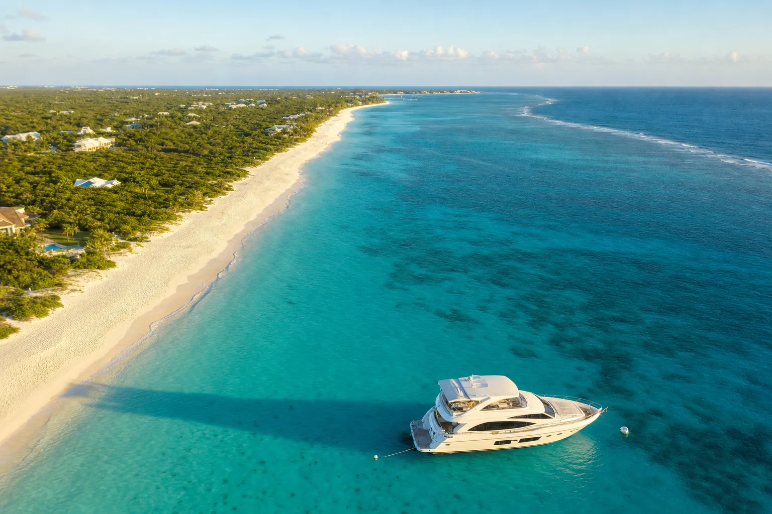
Picture made with AI. It shows the place but is not a photograph.
superyacht berths at Blue Haven Marina, plus 5 megayacht berths
longest yacht Blue Haven Marina lists (67 m+)
haul-out lift at South Bank Marina
yachts over this length need an anchoring permit
Providenciales pages
Two marinas and Grace Bay
This map covers the Leeward and Long Bay Hills coast of Providenciales. Blue Haven Marina is on the east end. South Bank Marina is on the south shore. Grace Bay beach is on the north shore.
Best months and weather
World Weather Information Service data for Inagua (Matthew Town), Bahamas, 1971 to 2000, supplied by the Bahamas Department of Meteorology. The station is about 172 km north-west of Providenciales. The Atlantic hurricane season runs from 1 June to 30 November (NOAA). Season bands are our own estimate.
Sources. Checked 8 November 2026.
- TCI Border Force: Vessel clearance
- TCI Border Force: Visas and permits
- TCI Department of Environment and Coastal Resources: Essential information for visitors and residents
- TCI Airports Authority: Providenciales International Airport
- Blue Haven Marina: Arriving to TCI
- Blue Haven Marina: The marina
- IGY Marinas: Blue Haven Marina
- South Bank Marina: About us
- South Bank Marina: Arriving here
- South Bank Marina: Marina services
- South Bank Marina: Mega yacht concierge
- Noonsite: Turks and Caicos yachting essentials
- Visit Turks and Caicos: Yacht and cruising guide
- Visit Turks and Caicos: Marinas and harbors
- World Weather Information Service: Inagua
- World Weather Information Service: Inagua data (JSON)
- NOAA National Hurricane Center: Climatology
- UKSA: Superyacht salary guide
Let the yachts come to you
Upload your CV and we build your crew profile from it. Captains and recruiters contact you. Free for crew.