Santorini
The island of Santorini in the Cyclades. Ports, the Vlychada fishing shelter, anchorages, getting here and when to visit.
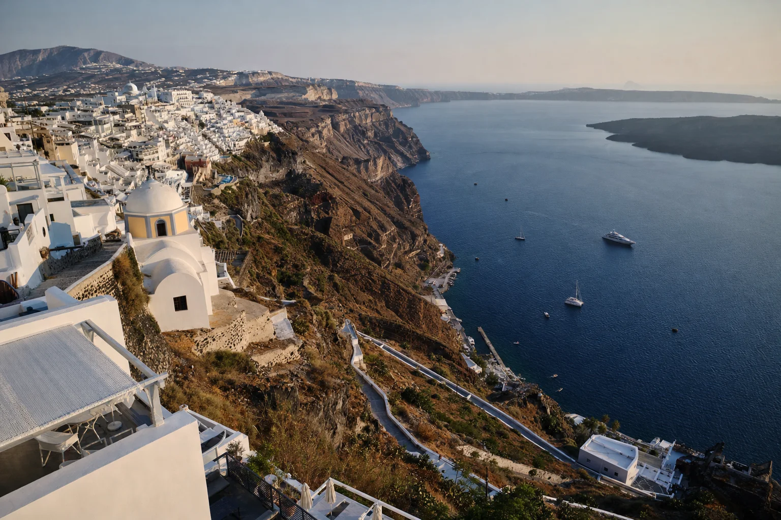
Picture made with AI. It shows the place but is not a photograph.
longest boat at the Vlychada fishing shelter (two Port Fund pages differ)
useful pier length at Vlychada (Municipal Port Fund of Thira)
from Athinios port to Fira (Municipal Port Fund of Thira)
Santorini pages
Athinios, the old port and the port authority
Athinios, the ferry port, is about 3.5 km south of the old port of Fira. The Port Authority of Thira is about 0.4 km east of the old port. Vlychada is further south and is not on this map.
Best months and weather
WMO climate normals 1961 to 1990, Naxos Island station (WMO 16732, 9 m, 37 degrees 06 minutes N, 25 degrees 23 minutes E), as provided by Greece to the WMO (NOAA GCOS WMO-Normals file 16732.TXT). No Santorini station is published. The station is about 76 km north of the old port of Fira. Season bands are our own estimate.
Sources. Checked 7 November 2026.
- Municipal Port Fund of Thira: Athinios
- Municipal Port Fund of Thira: Fira bay
- Municipal Port Fund of Thira: Ammoudi Oias
- Municipal Port Fund of Thira: Vlychada
- Municipal Port Fund of Thira: fishing shelters
- Municipal Port Fund of Thira: organization and phone numbers
- Municipal Port Fund of Thira: cruise and cable car
- Municipal Port Fund of Thira: port use application
- Santorini Airport (JTR) website
- AADE: eTEPAI
- European Commission: border crossing
- UKSA superyacht salary guide
- OpenStreetMap: Athinios port
- OpenStreetMap: old port of Fira
- OpenStreetMap: Port Authority of Thira
Let the yachts come to you
Upload your CV and we build your crew profile from it. Captains and recruiters contact you. Free for crew.